
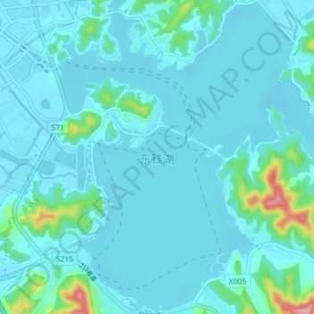
东钱湖 topographic map
Interactive map
Click on the map to display elevation.
About this map
Name: 东钱湖 topographic map, elevation, terrain.
Location: 东钱湖, 鄞州区, 宁波市, 浙江省, 中国 (29.73538 121.62894 29.79612 121.69699)
Average elevation: 66 ft
Minimum elevation: -7 ft
Maximum elevation: 643 ft
Other topographic maps
Click on a map to view its topography, its elevation and its terrain.