
Malden Park topographic map
Interactive map
Click on the map to display elevation.
About this map
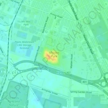
Name: Malden Park topographic map, elevation, terrain.
Location: Malden Park, Windsor, Southwestern Ontario, Ontario, Canada (42.27224 -83.07145 42.28240 -83.05899)
Average elevation: 597 ft
Minimum elevation: 571 ft
Maximum elevation: 673 ft