
Steamboat Rock topographic map
Interactive map
Click on the map to display elevation.
About this map
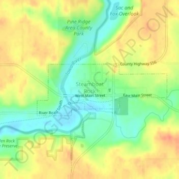
Name: Steamboat Rock topographic map, elevation, terrain.
Location: Steamboat Rock, Hardin County, Iowa, United States (42.40423 -93.07780 42.41205 -93.05125)
Average elevation: 1,043 ft
Minimum elevation: 958 ft
Maximum elevation: 1,119 ft
Hardin County trails, hiking, mountain biking, running and outdoor activities
Other topographic maps
Click on a map to view its topography, its elevation and its terrain.