Geolocate

McRae topographic map

Click on the map to display elevation.

About this map

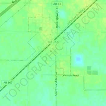
Name: McRae topographic map, elevation, terrain.

Location: McRae, White County, Arkansas, United States (35.10114 -91.83846 35.12063 -91.81494)

Average elevation: 230 ft

Minimum elevation: 200 ft

Maximum elevation: 249 ft

White County trails, hiking, mountain biking, running and outdoor activities

Other topographic maps

Click on a map to view its topography, its elevation and its terrain.

Doniphan

United States > Arkansas > White County

Average elevation: 226 ft

Gear up for your next adventure:

📚Navigation Handbooks - Master the art of reading topographic maps and using a compass
🦺Reflective Outdoor Gear - Safety gear for low‑light conditions
🚑Emergency Bivvies - Heat-reflective sleeping bags for survival situations
🚁Photography Drones - Capture stunning aerial views of landforms and topography
🎒Trekking Poles - Sturdy poles for balance and stability on rough terrain

As an Amazon Associate, this site earns from qualifying purchases at no extra cost to you.