
Thank you for supporting this site ❤️
Make a donation
Make a donation
Gear up for your next adventure:
As an Amazon Associate, this site earns from qualifying purchases at no extra cost to you.
Tucun topographic map
Click on the map to display elevation.
Thank you for supporting this site ❤️
Make a donation
Make a donation
Gear up for your next adventure:
As an Amazon Associate, this site earns from qualifying purchases at no extra cost to you.
About this map
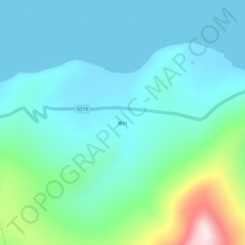
Name: Tucun topographic map, elevation, terrain.
Location: Tucun, Daglung, Nakartse County, Lhoka, Tibet, China (28.47796 90.47991 28.51796 90.51991)
Average elevation: 16,814 ft
Minimum elevation: 16,440 ft
Maximum elevation: 18,379 ft
Thank you for supporting this site ❤️
Make a donation
Make a donation
Gear up for your next adventure:
As an Amazon Associate, this site earns from qualifying purchases at no extra cost to you.