
Thank you for supporting this site ❤️
Make a donation
Make a donation
Gear up for your next adventure:
As an Amazon Associate, this site earns from qualifying purchases at no extra cost to you.
Campenhout topographic map
Click on the map to display elevation.
Thank you for supporting this site ❤️
Make a donation
Make a donation
Gear up for your next adventure:
As an Amazon Associate, this site earns from qualifying purchases at no extra cost to you.
About this map
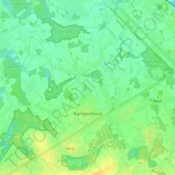
Name: Campenhout topographic map, elevation, terrain.
Location: Campenhout, Hal-Vilvorde, Brabant flamand, 1910, Belgique (50.93027 4.52330 50.96811 4.60827)
Average elevation: 43 ft
Minimum elevation: 10 ft
Maximum elevation: 82 ft
Thank you for supporting this site ❤️
Make a donation
Make a donation
Gear up for your next adventure:
As an Amazon Associate, this site earns from qualifying purchases at no extra cost to you.