
Thank you for supporting this site ❤️
Make a donation
Make a donation
Gear up for your next adventure:
As an Amazon Associate, this site earns from qualifying purchases at no extra cost to you.
Keystone topographic map
Click on the map to display elevation.
Thank you for supporting this site ❤️
Make a donation
Make a donation
Gear up for your next adventure:
As an Amazon Associate, this site earns from qualifying purchases at no extra cost to you.
About this map
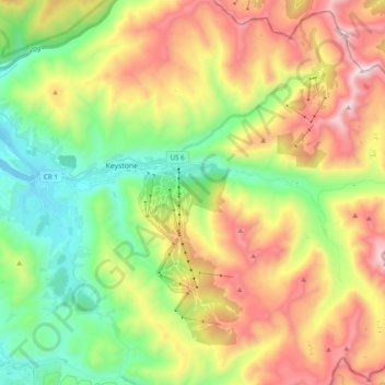
Name: Keystone topographic map, elevation, terrain.
Location: Keystone, Summit County, Colorado, 80435, United States (39.52173 -106.00609 39.67140 -105.86022)
Average elevation: 10,827 ft
Minimum elevation: 9,019 ft
Maximum elevation: 13,415 ft
Thank you for supporting this site ❤️
Make a donation
Make a donation
Gear up for your next adventure:
As an Amazon Associate, this site earns from qualifying purchases at no extra cost to you.