Geolocate

Fleckney topographic map

Click on the map to display elevation.

About this map

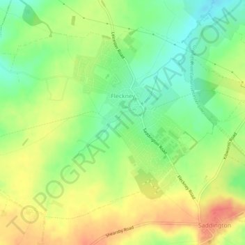
Name: Fleckney topographic map, elevation, terrain.

Location: Fleckney, Harborough, Leicestershire, England, United Kingdom (52.52250 -1.07590 52.54400 -1.03085)

Average elevation: 397 ft

Minimum elevation: 308 ft

Maximum elevation: 489 ft

Gear up for your next adventure:

🥩Freeze-Dried Meals - Nutritious and lightweight food for remote expeditions
🖼️Topo Map Wall Art - Decorative topographic prints of famous peaks and regions
🛠️Backpacking Tool Kit - Essential toolkit for outdoor repairs
🔦Compact Flashlight - Reliable flashlight for emergencies
🧭Hiking Compass - Precision compass for reliable navigation in the wilderness

As an Amazon Associate, this site earns from qualifying purchases at no extra cost to you.