Geolocate

Ussolo topographic map

Click on the map to display elevation.

About this map

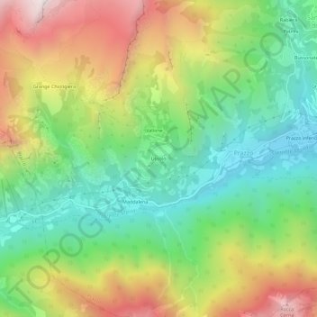
Name: Ussolo topographic map, elevation, terrain.

Location: Ussolo, Prazzo, Cuneo, Piemonte, 12028, Italia (44.46219 7.02033 44.50219 7.06033)

Average elevation: 5,092 ft

Minimum elevation: 3,278 ft

Maximum elevation: 7,835 ft

Gear up for your next adventure:

🚗GPS Dash Cams - Record your scenic drives through mountain passes and canyons
💧Water Purification System - Clean water on the trail with reliable purifiers
🎒Trekking Poles - Sturdy poles for balance and stability on rough terrain
🧭Pro Hiking Compasses - High-accuracy liquid-filled compasses for topographic orientation
🧭Hiking Compass - Precision compass for reliable navigation in the wilderness

As an Amazon Associate, this site earns from qualifying purchases at no extra cost to you.