
Shadowlawn topographic map
Click on the map to display elevation.
About this map
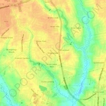
Name: Shadowlawn topographic map, elevation, terrain.
Average elevation: 187 ft
Minimum elevation: 108 ft
Maximum elevation: 233 ft
Cumberland County trails, hiking, mountain biking, running and outdoor activities
Other topographic maps
Click on a map to view its topography, its elevation and its terrain.
Blounts Creek
United States > North Carolina > Cumberland County > Fayetteville
Average elevation: 95 ft