Geolocate

Pilani topographic map

Click on the map to display elevation.

About this map

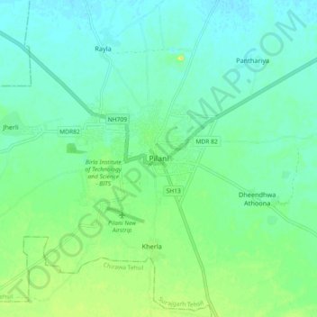
Name: Pilani topographic map, elevation, terrain.

Location: Pilani, Surajgarh Tehsil, Jhunjhunu, Rajasthan, 333031, India (28.32227 75.56423 28.40227 75.64423)

Average elevation: 965 ft

Minimum elevation: 935 ft

Maximum elevation: 1,020 ft

Gear up for your next adventure:

👟Trail Running Shoes - Lightweight shoes for trail runners
🔊Portable Camp Speaker - Music and alerts at camp
🔋Rechargeable Batteries - Power up your outdoor devices
🛰️Satellite Messengers - Emergency SOS and two-way messaging for off-grid adventures
🧭Pro Hiking Compasses - High-accuracy liquid-filled compasses for topographic orientation

As an Amazon Associate, this site earns from qualifying purchases at no extra cost to you.