Geolocate

Castagnorfa topographic map

Click on the map to display elevation.

About this map

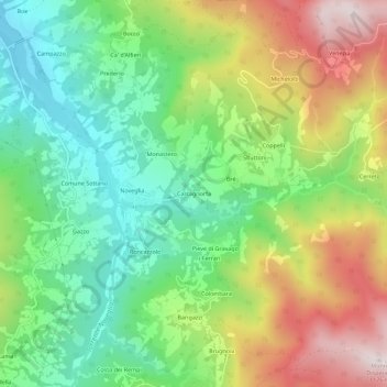
Name: Castagnorfa topographic map, elevation, terrain.

Location: Castagnorfa, Bardi, Parma, Emilia-Romagna, 43032, Italy (44.57050 9.74969 44.61050 9.78969)

Average elevation: 2,297 ft

Minimum elevation: 1,368 ft

Maximum elevation: 3,720 ft

Gear up for your next adventure:

🪄Magnetic Compass - Accurate compass for navigation
🪶Camp Gear Gift Set - Perfect gift bundle for outdoor fans
🧥Men's Rain Shells - Premium waterproof and breathable jackets for mountain weather
🚑Emergency Bivvies - Heat-reflective sleeping bags for survival situations
🪶Camping Sleeping Pad - Comfortable sleeping pad for backpacking

As an Amazon Associate, this site earns from qualifying purchases at no extra cost to you.