Geolocate

Glencoe topographic map

Interactive map

Click on the map to display elevation.

About this map

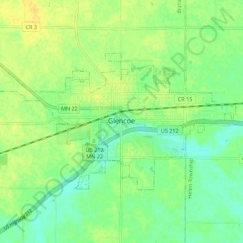
Name: Glencoe topographic map, elevation, terrain.

Location: Glencoe, McLeod County, Minnesota, United States (44.75367 -94.19209 44.78432 -94.11546)

Average elevation: 1,014 ft

Minimum elevation: 978 ft

Maximum elevation: 1,050 ft

Other topographic maps

Click on a map to view its topography, its elevation and its terrain.

Lester Prairie

United States > Minnesota > McLeod County

Lester Prairie, McLeod County, Minnesota, United States

Average elevation: 984 ft

Sherman

United States > Minnesota > McLeod County > Sherman

Sherman, Winsted Township, McLeod County, Minnesota, United States

Average elevation: 1,040 ft

Silver Lake

United States > Minnesota > McLeod County

Silver Lake, McLeod County, Minnesota, United States

Average elevation: 1,050 ft

Winsted

United States > Minnesota > McLeod County > Winsted > Winsted

Winsted, McLeod County, Minnesota, 55395, United States

Average elevation: 1,017 ft

Hutchinson

United States > Minnesota > McLeod County

Hutchinson, McLeod County, Minnesota, 55350, United States

Average elevation: 1,063 ft