
Amdapur topographic map
Click on the map to display elevation.
About this map
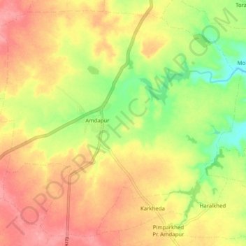
Name: Amdapur topographic map, elevation, terrain.
Location: Amdapur, Chikhli, Buldhana, Maharashtra, 444301, India (20.37094 76.40975 20.44448 76.49502)
Average elevation: 1,841 ft
Minimum elevation: 1,667 ft
Maximum elevation: 1,975 ft