
Premont topographic map
Click on the map to display elevation.
About this map
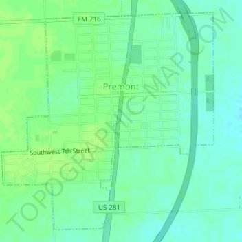
Name: Premont topographic map, elevation, terrain.
Location: Premont, Jim Wells County, Texas, United States (27.34461 -98.13863 27.36882 -98.11195)
Average elevation: 161 ft
Minimum elevation: 141 ft
Maximum elevation: 177 ft
Jim Wells County trails, hiking, mountain biking, running and outdoor activities