Geolocate

Unterhaching topographic map

Click on the map to display elevation.

About this map

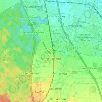
Name: Unterhaching topographic map, elevation, terrain.

Location: Unterhaching, Landkreis München, Bavaria, 82008, Germany (48.05234 11.57481 48.08735 11.65048)

Average elevation: 1,824 ft

Minimum elevation: 1,768 ft

Maximum elevation: 1,913 ft

Other topographic maps

Click on a map to view its topography, its elevation and its terrain.

Martinsried

Germany > Bavaria > Landkreis München > Planegg

Average elevation: 1,801 ft

Hofolding

Germany > Bavaria > Landkreis München

Average elevation: 1,998 ft

Holzhausen

Germany > Bavaria > Landkreis München

Average elevation: 2,175 ft

Eglfing

Germany > Bavaria > Landkreis München > Haar

Average elevation: 1,772 ft

Deisenhofen

Germany > Bavaria > Landkreis München > Oberhaching

Average elevation: 1,942 ft

Westerham

Germany > Bavaria > Landkreis München > Taufkirchen > Westerham

Average elevation: 1,854 ft

Gear up for your next adventure:

🪶Thermal Camp Blanket - Extra warmth for cold nights
🛰️Satellite Messengers - Emergency SOS and two-way messaging for off-grid adventures
🔭Telescopic Hiking Pole - Adjustable pole for hiking stability
🧯Portable Fire Pit - Compact fire pit for camping spots
🔋Solar Power Banks - Keep your GPS and phone charged in remote wilderness areas

As an Amazon Associate, this site earns from qualifying purchases at no extra cost to you.