Geolocate

Collestrada topographic map

Click on the map to display elevation.

About this map

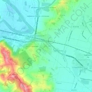
Name: Collestrada topographic map, elevation, terrain.

Location: Collestrada, Perugia, Umbria, 06135, Italy (43.06555 12.46096 43.10555 12.50096)

Average elevation: 696 ft

Minimum elevation: 587 ft

Maximum elevation: 1,017 ft

Gear up for your next adventure:

🌧️Backpack Rain Cover - Keep gear dry in wet weather
🛠️Outdoor Gear Repair Kit - Essential tools to fix gear on the trail
🛡️Bear Spray Outdoor - Protection in bear country hikes
🛡️Insect Repellent - Protection against bugs during outdoor activities
🏥Hiking First Aid Kits - Comprehensive medical kits for remote trail injuries

As an Amazon Associate, this site earns from qualifying purchases at no extra cost to you.