Geolocate

Barail Range topographic map

Click on the map to display elevation.
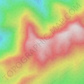
About this map

Name: Barail Range topographic map, elevation, terrain.

Location: Barail Range, Maibong, Dima Hasao, Assam, India (25.27429 93.34771 25.27439 93.34781)

Average elevation: 4,954 ft

Minimum elevation: 3,661 ft

Maximum elevation: 5,817 ft

Gear up for your next adventure:

🪶Trail Camera - Capture wildlife on your hikes
🚪Portable Camp Chair - Foldable chair for comfort at camp
🧣Hiking Neck Gaiter - Multi‑use neck protection for outdoor weather
📷Action Camera - Capture your outdoor adventures in HD
🪵Folding Camp Saw - Compact saw for wood and campsite work

As an Amazon Associate, this site earns from qualifying purchases at no extra cost to you.