Geolocate

Zurite topographic map

Click on the map to display elevation.

About this map

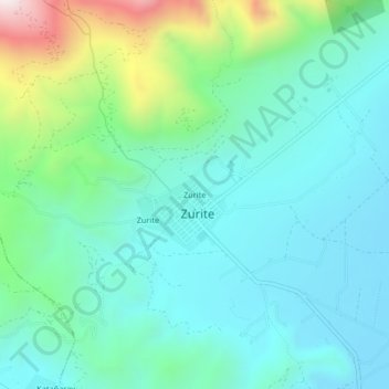
Name: Zurite topographic map, elevation, terrain.

Location: Zurite, Province of Anta, Cusco, Peru (-13.47352 -72.27578 -13.43352 -72.23578)

Average elevation: 11,558 ft

Minimum elevation: 10,899 ft

Maximum elevation: 13,839 ft

Gear up for your next adventure:

🔭Telescopic Hiking Pole - Adjustable pole for hiking stability
🧭GPS Watch Accessories - Bands and chargers for GPS watches
📷Action Cameras - Rugged cameras to document your journeys across rugged terrain
🧦Merino Wool Socks - Moisture-wicking, blister-preventing socks for long treks
🏕️Tent Footprint - Protect your tent base from wear

As an Amazon Associate, this site earns from qualifying purchases at no extra cost to you.