
白果乡 topographic map
Interactive map
Click on the map to display elevation.
About this map
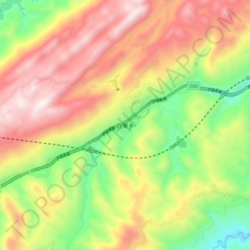
Name: 白果乡 topographic map, elevation, terrain.
Location: 白果乡, 恩施市, 恩施土家族苗族自治州, 湖北省, 中国 (30.18773 109.29305 30.26773 109.37305)
Average elevation: 3,622 ft
Minimum elevation: 1,634 ft
Maximum elevation: 5,623 ft
Other topographic maps
Click on a map to view its topography, its elevation and its terrain.