
Thank you for supporting this site ❤️
Make a donation
Make a donation
Gear up for your next adventure:
As an Amazon Associate, this site earns from qualifying purchases at no extra cost to you.
Morata topographic map
Click on the map to display elevation.
Thank you for supporting this site ❤️
Make a donation
Make a donation
Gear up for your next adventure:
As an Amazon Associate, this site earns from qualifying purchases at no extra cost to you.
About this map
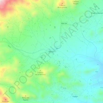
Name: Morata topographic map, elevation, terrain.
Location: Morata, Lorca, Alto Guadalentín, Region of Murcia, Spain (37.56881 -1.50895 37.60881 -1.46895)
Average elevation: 1,250 ft
Minimum elevation: 797 ft
Maximum elevation: 2,425 ft
Thank you for supporting this site ❤️
Make a donation
Make a donation
Gear up for your next adventure:
As an Amazon Associate, this site earns from qualifying purchases at no extra cost to you.