
Make a donation
Gear up for your next adventure:
As an Amazon Associate, this site earns from qualifying purchases at no extra cost to you.
Wallis and Futuna topographic map
Click on the map to display elevation.
Make a donation
Gear up for your next adventure:
As an Amazon Associate, this site earns from qualifying purchases at no extra cost to you.
About this map
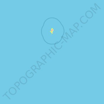
Name: Wallis and Futuna topographic map, elevation, terrain.
Location: Wallis and Futuna, France (-14.56307 -178.38737 -12.98280 -175.91904)
Average elevation: 0 ft
Minimum elevation: 0 ft
Maximum elevation: 440 ft
Make a donation
Gear up for your next adventure:
As an Amazon Associate, this site earns from qualifying purchases at no extra cost to you.
Other topographic maps
Click on a map to view its topography, its elevation and its terrain.
Grison
France > Pays de la Loire > Loire-Atlantique > Vallons-de-l'Erdre > Saint-Mars-la-Jaille
Average elevation: 161 ft
Make a donation
Gear up for your next adventure:
As an Amazon Associate, this site earns from qualifying purchases at no extra cost to you.