Geolocate

Pike topographic map

Click on the map to display elevation.

About this map

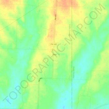
Name: Pike topographic map, elevation, terrain.

Location: Pike, Collin County, Texas, United States (33.30233 -96.32304 33.34233 -96.28304)

Average elevation: 610 ft

Minimum elevation: 551 ft

Maximum elevation: 669 ft

Collin County trails, hiking, mountain biking, running and outdoor activities

Other topographic maps

Click on a map to view its topography, its elevation and its terrain.

Parker

United States > Texas > Collin County

Average elevation: 591 ft

Celina

United States > Texas > Collin County

Average elevation: 686 ft

Fairview

United States > Texas > Collin County

Average elevation: 630 ft

Chisholm Trail

United States > Texas > Collin County > Plano

Average elevation: 689 ft

Panther Creek

United States > Texas > Collin County > Frisco

Average elevation: 646 ft

White Rock Creek

United States > Texas > Collin County > Plano

Average elevation: 656 ft

Lavon Lake

United States > Texas > Collin County > Wylie

Average elevation: 545 ft

Gear up for your next adventure:

📡Handheld GPS Device - Reliable handheld GPS for outdoor navigation
🧯Portable Fire Pit - Compact fire pit for camping spots
🎒Outdoor Daypacks - Lightweight backpacks designed for carrying maps and essential gear
🥤Water Filter Bottle - All‑in‑one filter bottle for safe hydration
🌎3D Topographic Globes - Raised relief globes for a tactile understanding of geography

As an Amazon Associate, this site earns from qualifying purchases at no extra cost to you.