
Mutambara topographic map
Click on the map to display elevation.
About this map
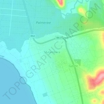
Name: Mutambara topographic map, elevation, terrain.
Location: Mutambara, Rumonge, Burundi (-4.02948 29.43430 -3.98948 29.47430)
Average elevation: 2,602 ft
Minimum elevation: 2,516 ft
Maximum elevation: 2,927 ft