Geolocate

Chullush topographic map

Click on the map to display elevation.

About this map

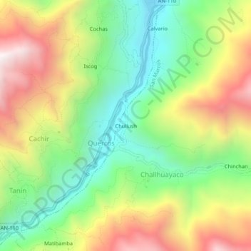
Name: Chullush topographic map, elevation, terrain.

Location: Chullush, Challhuayaco, San Marcos, Huari, Áncash, Perú (-9.63448 -77.20151 -9.59448 -77.16151)

Average elevation: 11,867 ft

Minimum elevation: 10,331 ft

Maximum elevation: 13,907 ft

Gear up for your next adventure:

🛶Inflatable Kayak - Portable kayak for rivers, lakes, and expeditions
🦺Reflective Outdoor Gear - Safety gear for low‑light conditions
💧Water Filtration Bottles - Safely drink from streams and lakes while exploring
🥾Hiking Shoes - Durable and comfortable shoes for trail hiking
🧷Carabiner Set - Durable clips for gear attachment

As an Amazon Associate, this site earns from qualifying purchases at no extra cost to you.