
Barabati topographic map
Click on the map to display elevation.
About this map
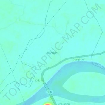
Name: Barabati topographic map, elevation, terrain.
Location: Barabati, Dharmasala, Jajpur District, Odisha, 755008, India (20.78282 86.12809 20.82282 86.16809)
Average elevation: 56 ft
Minimum elevation: 30 ft
Maximum elevation: 203 ft