
Clio topographic map
Click on the map to display elevation.
About this map
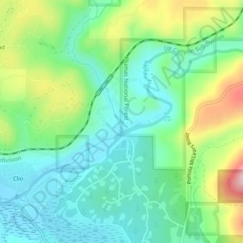
Name: Clio topographic map, elevation, terrain.
Location: Clio, Plumas County, California, United States (39.74043 -120.59330 39.75869 -120.55790)
Average elevation: 4,616 ft
Minimum elevation: 4,393 ft
Maximum elevation: 5,108 ft
Plumas County trails, hiking, mountain biking, running and outdoor activities