
Harris topographic map
Click on the map to display elevation.
About this map
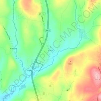
Name: Harris topographic map, elevation, terrain.
Average elevation: 1,299 ft
Minimum elevation: 1,096 ft
Maximum elevation: 1,604 ft
Sullivan County trails, hiking, mountain biking, running and outdoor activities
Other topographic maps
Click on a map to view its topography, its elevation and its terrain.
Town of Mamakating
United States > New York > Sullivan County
The highest elevation in the town is 1,648 feet (502 m), near the junction of Mamakating Avenue and Park Road in the Mamakating Park Historic District. The lowest elevation is 340 feet (100 m), at the tripoint with Orange and Ulster counties where the Bush Kill drains into the Shawangunkill.
Average elevation: 1,037 ft
Evens Lake
United States > New York > Sullivan County > Town of Fallsburg > Loch Sheldrake
Average elevation: 1,453 ft
Shawangunk Ridge
United States > New York > Sullivan County
The ridge is widest (7.5 miles (12.1 km)) near the northern end and narrow in the middle (1.25 miles (2.01 km)), with a maximum elevation of 2,289 feet (698 m) near Lake Maratanza. The ridge rises above a broad, high plain which stretches to the Hudson River to the east. On the west the low foothills of the…
Average elevation: 840 ft
Town of Fremont
United States > New York > Sullivan County
The climate of the town is typical of the interior northeast. Made up of hills of about 2,000 ft. in elevation and valleys under 1,000 ft. The majority of the town is forested with open fields scattered about.
Average elevation: 1,588 ft
Grahamsville
United States > New York > Sullivan County > Town of Neversink
Grahamsville is located at latitude 41.848 and longitude -74.548. The elevation is 968 feet. Grahamsville is in the Eastern Time Zone.
Average elevation: 1,302 ft