
Thank you for supporting this site ❤️
Make a donation
Make a donation
Gear up for your next adventure:
As an Amazon Associate, this site earns from qualifying purchases at no extra cost to you.
Linhares topographic map
Click on the map to display elevation.
Thank you for supporting this site ❤️
Make a donation
Make a donation
Gear up for your next adventure:
As an Amazon Associate, this site earns from qualifying purchases at no extra cost to you.
About this map
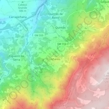
Name: Linhares topographic map, elevation, terrain.
Location: Linhares, Celorico da Beira, Guarda, 6360-082, Portugal (40.51518 -7.48032 40.57082 -7.42003)
Average elevation: 2,648 ft
Minimum elevation: 1,601 ft
Maximum elevation: 4,213 ft
Thank you for supporting this site ❤️
Make a donation
Make a donation
Gear up for your next adventure:
As an Amazon Associate, this site earns from qualifying purchases at no extra cost to you.