Geolocate

Bellavista topographic map

Click on the map to display elevation.

About this map
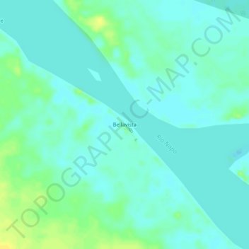
Name: Bellavista topographic map, elevation, terrain.

Location: Bellavista, Napo, Maynas, Loreto, Perú (-2.91277 -73.52293 -2.87277 -73.48293)

Average elevation: 354 ft

Minimum elevation: 335 ft

Maximum elevation: 400 ft

Gear up for your next adventure:

🗃️Trail First Aid Kit - Essential kit for outdoor injuries and emergencies
🔭Compact Binoculars - HD vision for scouting terrain and identifying distant landmarks
🧭Hiking Compass - Precision compass for reliable navigation in the wilderness
🥾Hiking Shoes - Durable and comfortable shoes for trail hiking
🌡️Portable Weather Meter - Track weather conditions on the trail

As an Amazon Associate, this site earns from qualifying purchases at no extra cost to you.