
Mount Thom topographic map
Interactive map
Click on the map to display elevation.
About this map
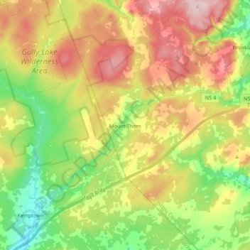
Name: Mount Thom topographic map, elevation, terrain.
Location: Mount Thom, Pictou County, Nova Scotia, Canada (45.45562 -63.02586 45.57045 -62.90321)
Average elevation: 666 ft
Minimum elevation: 292 ft
Maximum elevation: 1,119 ft