Geolocate

Dachepalli topographic map

Click on the map to display elevation.

About this map

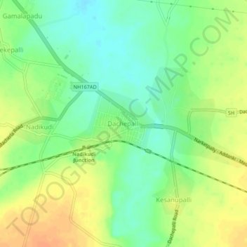
Name: Dachepalli topographic map, elevation, terrain.

Location: Dachepalli, Dachepalle, Palnadu, Andhra Pradesh, 522414, India (16.55472 79.69154 16.63472 79.77154)

Average elevation: 328 ft

Minimum elevation: 230 ft

Maximum elevation: 397 ft

Gear up for your next adventure:

🪶Thermal Camp Blanket - Extra warmth for cold nights
📶Vehicle Signal Boosters - Improve reception in rural areas while driving to trailheads
🕶️Glacier Sunglasses - Side shields to protect eyes from high-altitude snow glare
🗺️Topographic Maps - Detailed topo maps for hiking, exploring and outdoor navigation
🔋Rechargeable Batteries - Power up your outdoor devices

As an Amazon Associate, this site earns from qualifying purchases at no extra cost to you.