Geolocate

Craft Mill topographic map

Click on the map to display elevation.

About this map

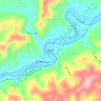
Name: Craft Mill topographic map, elevation, terrain.

Location: Craft Mill, Scott County, Virginia, United States (36.68871 -82.67155 36.72871 -82.63155)

Average elevation: 1,608 ft

Minimum elevation: 1,217 ft

Maximum elevation: 2,300 ft

Scott County trails, hiking, mountain biking, running and outdoor activities

Other topographic maps

Click on a map to view its topography, its elevation and its terrain.

Weber City

United States > Virginia > Scott County

Average elevation: 1,444 ft

Clinchport

United States > Virginia > Scott County

Average elevation: 1,499 ft

Gate City

United States > Virginia > Scott County

Average elevation: 1,601 ft

Duffield

United States > Virginia > Scott County

Average elevation: 1,486 ft

Gear up for your next adventure:

👓Polarized Sunglasses - Outdoor sunglasses for glare reduction
🥇GPS Hiking Watch - Multi‑sport GPS watch with navigation and trail tracking
🛶Inflatable Kayak - Portable kayak for rivers, lakes, and expeditions
🛰️Satellite Messengers - Emergency SOS and two-way messaging for off-grid adventures
🛡️Insect Repellent - Protection against bugs during outdoor activities

As an Amazon Associate, this site earns from qualifying purchases at no extra cost to you.