Geolocate

Panola topographic map

Interactive map

Click on the map to display elevation.

About this map

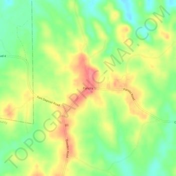
Name: Panola topographic map, elevation, terrain.

Location: Panola, Crenshaw County, Alabama, United States (31.95185 -86.40981 31.99185 -86.36981)

Average elevation: 505 ft

Minimum elevation: 387 ft

Maximum elevation: 633 ft

Crenshaw County trails, hiking, mountain biking, running and outdoor activities

Other topographic maps

Click on a map to view its topography, its elevation and its terrain.

Glenwood

United States > Alabama > Crenshaw County

Average elevation: 289 ft

Luverne

United States > Alabama > Crenshaw County

Average elevation: 348 ft

Brantley

United States > Alabama > Crenshaw County

Average elevation: 279 ft

Dozier

United States > Alabama > Crenshaw County

Average elevation: 259 ft

Rutledge

United States > Alabama > Crenshaw County

Average elevation: 312 ft

Petrey

United States > Alabama > Crenshaw County

Average elevation: 341 ft