Geolocate

Redwood topographic map

Click on the map to display elevation.

About this map

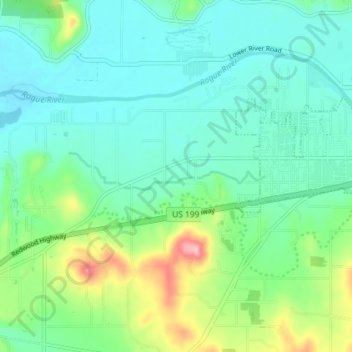
Name: Redwood topographic map, elevation, terrain.

Location: Redwood, Josephine County, Oregon, United States (42.40071 -123.42082 42.43844 -123.34845)

Average elevation: 984 ft

Minimum elevation: 853 ft

Maximum elevation: 1,385 ft

Josephine County trails, hiking, mountain biking, running and outdoor activities

Other topographic maps

Click on a map to view its topography, its elevation and its terrain.

Sunny Valley

United States > Oregon > Josephine County

Average elevation: 1,562 ft

Selma

United States > Oregon > Josephine County

Average elevation: 1,437 ft

Murphy

United States > Oregon > Josephine County

Average elevation: 1,289 ft

Wilderville

United States > Oregon > Josephine County

Average elevation: 1,194 ft

Fruitdale

United States > Oregon > Josephine County > Grants Pass

Average elevation: 1,135 ft

O'Brien

United States > Oregon > Josephine County

Average elevation: 1,490 ft

Gear up for your next adventure:

🪶Survival Guide Book - Expert advice for emergency preparedness
🚑Emergency Bivvies - Heat-reflective sleeping bags for survival situations
🧭Compass with Lanyard - Easy‑carry compass for navigation
🔦LED Headlamp - Bright and durable LED headlamp for night navigation
🪑Portable Camp Table - Compact table for campsite meals

As an Amazon Associate, this site earns from qualifying purchases at no extra cost to you.