
Thank you for supporting this site ❤️
Make a donation
Make a donation
Gear up for your next adventure:
As an Amazon Associate, this site earns from qualifying purchases at no extra cost to you.
Gäu topographic map
Click on the map to display elevation.
Thank you for supporting this site ❤️
Make a donation
Make a donation
Gear up for your next adventure:
As an Amazon Associate, this site earns from qualifying purchases at no extra cost to you.
About this map
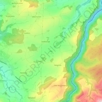
Name: Gäu topographic map, elevation, terrain.
Location: Gäu, Tavel, District de la Singine, Fribourg, 1712, Suisse (46.77826 7.27031 46.81826 7.31031)
Average elevation: 2,667 ft
Minimum elevation: 2,192 ft
Maximum elevation: 3,353 ft
Thank you for supporting this site ❤️
Make a donation
Make a donation
Gear up for your next adventure:
As an Amazon Associate, this site earns from qualifying purchases at no extra cost to you.