
Thank you for supporting this site ❤️
Make a donation
Make a donation
Gear up for your next adventure:
As an Amazon Associate, this site earns from qualifying purchases at no extra cost to you.
Valdavido topographic map
Click on the map to display elevation.
Thank you for supporting this site ❤️
Make a donation
Make a donation
Gear up for your next adventure:
As an Amazon Associate, this site earns from qualifying purchases at no extra cost to you.
About this map
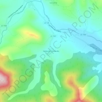
Name: Valdavido topographic map, elevation, terrain.
Location: Valdavido, Truchas, León, Castilla y León, 24740, España (42.22038 -6.44292 42.26038 -6.40292)
Average elevation: 3,898 ft
Minimum elevation: 3,537 ft
Maximum elevation: 4,905 ft
Thank you for supporting this site ❤️
Make a donation
Make a donation
Gear up for your next adventure:
As an Amazon Associate, this site earns from qualifying purchases at no extra cost to you.