

Madurai topographic map
Click on the map to display elevation.
Madurai
Madurai is located at 9°56′N 78°07′E / 9.93°N 78.12°E / 9.93; 78.12. It has an average elevation of 101 metres. The city of Madurai lies on the flat and fertile plain of the river Vaigai, which runs in the northwest-southeast direction through the city, dividing it into two almost equal halves. The Sirumalai and Nagamalai hills lie to the north and west of Madurai. The land in and around Madurai is utilised largely for agricultural activity, which is fostered by the Periyar Dam. Madurai lies southeast of the western ghats, and the surrounding region occupies the plains of South India and contains several mountain spurs. The soil type in central Madurai is predominantly clay loam, while red loam and black cotton types are widely prevalent in the outer fringes of the city. Paddy is the major crop, followed by pulses, millet, oil seed, cotton and sugarcane.
About this map
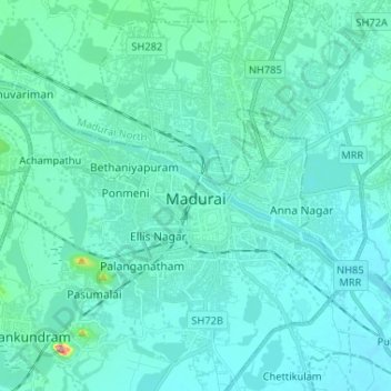
Name: Madurai topographic map, elevation, terrain.
Location: Madurai, Madurai South, Madurai district, Tamil Nadu, India (9.87138 78.03678 9.98257 78.16689)
Average elevation: 453 ft
Minimum elevation: 387 ft
Maximum elevation: 1,047 ft