Geolocate

Adampur topographic map

Click on the map to display elevation.

About this map

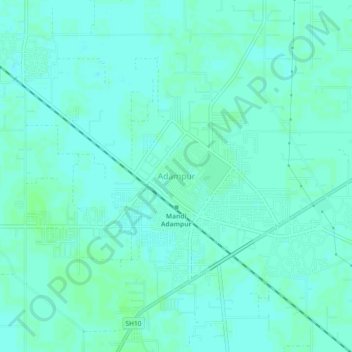
Name: Adampur topographic map, elevation, terrain.

Location: Adampur, Hisar, Haryana, 125052, India (29.26675 75.44878 29.30675 75.48878)

Average elevation: 689 ft

Minimum elevation: 679 ft

Maximum elevation: 699 ft

Gear up for your next adventure:

🧣Hiking Neck Gaiter - Multi‑use neck protection for outdoor weather
📡Handheld GPS Device - Reliable handheld GPS for outdoor navigation
🔭Compact Binoculars - HD vision for scouting terrain and identifying distant landmarks
🪶LED Camping Lantern - Bright lantern for camp lighting
🗺️Topographic Maps - Detailed topo maps for hiking, exploring and outdoor navigation

As an Amazon Associate, this site earns from qualifying purchases at no extra cost to you.