
Thank you for supporting this site ❤️
Make a donation
Make a donation
Gear up for your next adventure:
As an Amazon Associate, this site earns from qualifying purchases at no extra cost to you.
Vezzolano topographic map
Click on the map to display elevation.
Thank you for supporting this site ❤️
Make a donation
Make a donation
Gear up for your next adventure:
As an Amazon Associate, this site earns from qualifying purchases at no extra cost to you.
About this map
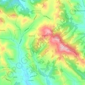
Name: Vezzolano topographic map, elevation, terrain.
Location: Vezzolano, Albugnano, Asti, Piemonte, 14024, Italia (45.06028 7.93685 45.10028 7.97685)
Average elevation: 1,234 ft
Minimum elevation: 853 ft
Maximum elevation: 1,781 ft
Thank you for supporting this site ❤️
Make a donation
Make a donation
Gear up for your next adventure:
As an Amazon Associate, this site earns from qualifying purchases at no extra cost to you.