
Pecan Grove topographic map
Click on the map to display elevation.
About this map
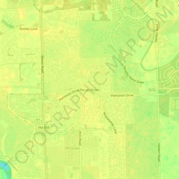
Name: Pecan Grove topographic map, elevation, terrain.
Location: Pecan Grove, Fort Bend County, Texas, 77496, United States (29.60607 -95.75162 29.64607 -95.71162)
Average elevation: 89 ft
Minimum elevation: 33 ft
Maximum elevation: 98 ft
Fort Bend County trails, hiking, mountain biking, running and outdoor activities
Other topographic maps
Click on a map to view its topography, its elevation and its terrain.
Sienna (Brazos River) Park
United States > Texas > Fort Bend County > Missouri City
Average elevation: 66 ft