
Thank you for supporting this site ❤️
Make a donation
Make a donation
Gear up for your next adventure:
As an Amazon Associate, this site earns from qualifying purchases at no extra cost to you.
النقرة topographic map
Click on the map to display elevation.
Thank you for supporting this site ❤️
Make a donation
Make a donation
Gear up for your next adventure:
As an Amazon Associate, this site earns from qualifying purchases at no extra cost to you.
About this map
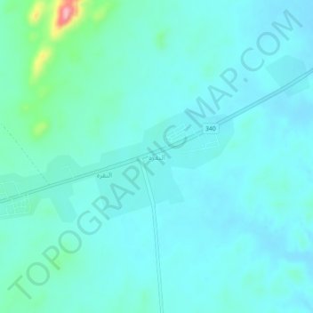
Name: النقرة topographic map, elevation, terrain.
Location: النقرة, Uqlat As Suqur, Al-Qassim Province, Saudi Arabia (25.55379 41.40928 25.59379 41.44928)
Average elevation: 3,215 ft
Minimum elevation: 3,153 ft
Maximum elevation: 3,599 ft
Thank you for supporting this site ❤️
Make a donation
Make a donation
Gear up for your next adventure:
As an Amazon Associate, this site earns from qualifying purchases at no extra cost to you.
Other topographic maps
Click on a map to view its topography, its elevation and its terrain.