Geolocate

Santo Toribio topographic map

Click on the map to display elevation.

About this map

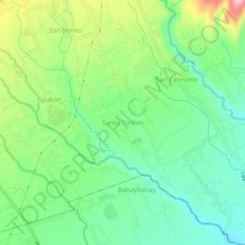
Name: Santo Toribio topographic map, elevation, terrain.

Location: Santo Toribio, Lipa, Batangas, Calabarzon, 4217, Philippines (13.89079 121.19583 13.93079 121.23583)

Average elevation: 673 ft

Minimum elevation: 449 ft

Maximum elevation: 1,099 ft

Other topographic maps

Click on a map to view its topography, its elevation and its terrain.

Duhatan

Philippines > Batangas > Lipa

Average elevation: 978 ft

Gear up for your next adventure:

🔥Camping Stove - Portable stove for camping and backcountry cooking
🚁Photography Drones - Capture stunning aerial views of landforms and topography
🥄Camping Utensil Set - Lightweight utensils for outdoor meals
⛑️Personal Locator Beacon - Safety beacon for emergencies
🏕️Tent Footprint - Protect your tent base from wear

As an Amazon Associate, this site earns from qualifying purchases at no extra cost to you.