
Staplehay topographic map
Click on the map to display elevation.
About this map
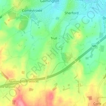
Name: Staplehay topographic map, elevation, terrain.
Location: Staplehay, Trull, Somerset, England, TA3 7HT, United Kingdom (50.96854 -3.14184 51.00854 -3.10184)
Average elevation: 180 ft
Minimum elevation: 69 ft
Maximum elevation: 364 ft