
Spruce Pine topographic map
Interactive map
Click on the map to display elevation.
About this map
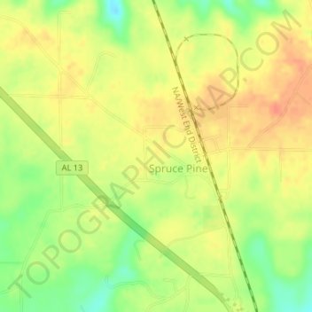
Name: Spruce Pine topographic map, elevation, terrain.
Location: Spruce Pine, Franklin County, Alabama, United States (34.38368 -87.74195 34.40000 -87.71569)
Average elevation: 1,017 ft
Minimum elevation: 925 ft
Maximum elevation: 1,073 ft
Franklin County trails, hiking, mountain biking, running and outdoor activities