Geolocate

Towanda topographic map

Click on the map to display elevation.

About this map

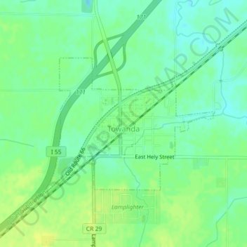
Name: Towanda topographic map, elevation, terrain.

Location: Towanda, McLean County, Illinois, 61776, United States (40.55720 -88.90967 40.57165 -88.88586)

Average elevation: 784 ft

Minimum elevation: 755 ft

Maximum elevation: 807 ft

McLean County trails, hiking, mountain biking, running and outdoor activities

Other topographic maps

Click on a map to view its topography, its elevation and its terrain.

Clarksville

United States > Illinois > McLean County

Average elevation: 735 ft

Gear up for your next adventure:

🪄Magnetic Compass - Accurate compass for navigation
🥾Women's Hiking Boots - Top-rated trail boots with ankle support and superior grip
🧴Hand Sanitizer - Keep hands clean while hiking
🔥Plasma Lighters - Windproof lighters that work in any weather condition
🦟Ultrasonic Repellers - Create a bug-free zone at your camp or rest stop

As an Amazon Associate, this site earns from qualifying purchases at no extra cost to you.