
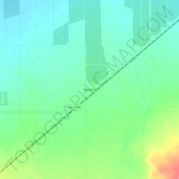
Belding topographic map
Click on the map to display elevation.
About this map
Name: Belding topographic map, elevation, terrain.
Location: Belding, Pecos County, Texas, United States (30.77127 -103.04516 30.81127 -103.00516)
Average elevation: 3,215 ft
Minimum elevation: 3,150 ft
Maximum elevation: 3,376 ft
Pecos County trails, hiking, mountain biking, running and outdoor activities
Other topographic maps
Click on a map to view its topography, its elevation and its terrain.