
Thank you for supporting this site ❤️
Make a donation
Make a donation
Gear up for your next adventure:
As an Amazon Associate, this site earns from qualifying purchases at no extra cost to you.
Atmautluak topographic map
Click on the map to display elevation.
Thank you for supporting this site ❤️
Make a donation
Make a donation
Gear up for your next adventure:
As an Amazon Associate, this site earns from qualifying purchases at no extra cost to you.
About this map
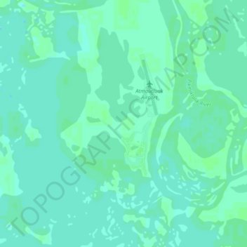
Name: Atmautluak topographic map, elevation, terrain.
Location: Atmautluak, Unorganized Borough, Alaska, United States (60.84268 -162.31402 60.88113 -162.24948)
Average elevation: 10 ft
Minimum elevation: 0 ft
Maximum elevation: 20 ft
Unorganized Borough trails, hiking, mountain biking, running and outdoor activities
Thank you for supporting this site ❤️
Make a donation
Make a donation
Gear up for your next adventure:
As an Amazon Associate, this site earns from qualifying purchases at no extra cost to you.