
Quail Ridge topographic map
Click on the map to display elevation.
About this map
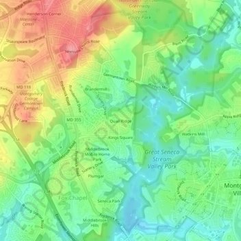
Name: Quail Ridge topographic map, elevation, terrain.
Average elevation: 436 ft
Minimum elevation: 305 ft
Maximum elevation: 633 ft
Montgomery County trails, hiking, mountain biking, running and outdoor activities
Other topographic maps
Click on a map to view its topography, its elevation and its terrain.
Montgomery Village
United States > Maryland > Montgomery County > Montgomery Village
Average elevation: 433 ft