Geolocate

Georgetown topographic map

Click on the map to display elevation.

About this map

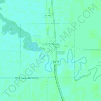
Name: Georgetown topographic map, elevation, terrain.

Location: Georgetown, Clay County, Minnesota, United States (47.07110 -96.80665 47.08576 -96.78533)

Average elevation: 883 ft

Minimum elevation: 873 ft

Maximum elevation: 892 ft

Clay County trails, hiking, mountain biking, running and outdoor activities

Other topographic maps

Click on a map to view its topography, its elevation and its terrain.

Ruthruff

United States > Minnesota > Clay County

Average elevation: 915 ft

Gear up for your next adventure:

📚USA Hiking Guide Books - Top trail guides and map books
📖Nature Tracking Books - Learn to track wildlife and terrain
🔪Outdoor Multitools - Essential survival tools for gear repair and field use
🥘Titanium Cookware - Durable, featherlight pots and pans for backpacking
🛌Ultralight Sleeping Bags - Compact down bags for cold nights in the wilderness

As an Amazon Associate, this site earns from qualifying purchases at no extra cost to you.